European Space Agency - Sentinel-2A/2B and the Copernicus Programme
Briefly
The Sentinel-2 mission comprises ‘twin polar-orbiting’
satellites in the same orbit phased at 180 degrees to each other. The purpose
of the mission is to detect variabilities in land surface conditions with a
high revisit of 10 days with one satellite (2A), (5 days with two constellation)(2B).
The coverage limits are between latitudes 56 degrees south and 84 degrees
north.
Sentinel-2 will sample 13 spectral bands including 4 bands
at 10m spatial resolution, these are B2 (490nm), B3 (560nm), B4 (665nm) and B8
(842nm), 6 bands at 20m spatial resolution, these are B5 (705nm), B6 (740nm),
B7 (783nm), B8a (865nm), B11 (1610nm), B12 (2190nm) and finally 3 bands at 60m
spatial resolution, these are B1 (443nm), B9 (945nm) and B10 (1375nm).
These twin satellites will provide continuity of SPOT and
LANDSAT type images for applications which include Land Management,
Agriculture, Forestry, Disaster Control, Humanitarian Relief Operations, Risk Mapping
and Security Operations in support of the ‘Copernicus’ Programme.
The products are available to users in SENTINEL-SAFE format,
including images in georeferenced GML/ JPEG2000 format, quality indicators
(defective pixels mask) and auxiliary data (XML/GIPPs) and metadata (XML).
Images are available between 3 and 24 hours after sensing via online access.
Where Sentinel-2 fits in with other missions
The narrow width of the spectral bands limit the influences
of water vapour which heavily contaminated the Landsat (NIR) band (760-900nm)
range not sensitive enough to soil iron oxide content.
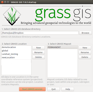
I will hopefully get the chance to obtain some of the data
for South Wales in the UK and experiment with the bands using Grass 7. I will
provide further feedback and a tutorial.
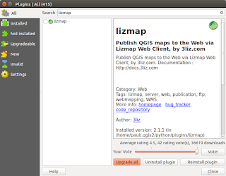
More importantly the data is free and the supporting software included is Open Source.
More importantly the data is free and the supporting software included is Open Source.
More information is available:-
Comments
Post a Comment