Posts

Showing posts from July, 2015

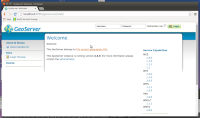
Install GeoServer on Ubuntu 15.04 (localhost)
Image
It's quite easy to find installation instructions for most Ubuntu versions but it's nice to check they still apply to the most recent release (15.04 at the time writing). I tested this yesterday and it still works for me. My thanks to Hongru Hou (link at the end of the article for full details). Install Apache2 (if not installed):-   sudo apt-get install apache2   sudo apt-get update Test Apache2 web server is working:- sudo /etc/init.d/apache2 start sudo /etc/init.d/apache2 stop sudo /etc/init.d/apache2 restart Install Java 7 using the 'Webupd8team' repository:- sudo add-apt-repository ppa:webupd8team/java then:- sudo apt-get install oracle-java7-installer   (takes about 10 minutes to download) Install Tomcat7 (because it is GeoServer Web archive this replaces the missing Java Servlet of this edition)   sudo apt-get install tomcat7 then in order for tomcat7 to find JDK we need to open and amend one line:- sudo vi /etc/default/tomcat7  JAV

Landsat 8 getting data the easy way

My thanks to Gregor Maclennan on the PPGIS forum for this link. I've been using Earth Explorer for years but this is simple, clean and no nonsense. http://libra.developmentseed.org/

European Space Agency - Sentinel-2A/2B and the Copernicus Programme

Briefly The Sentinel-2 mission comprises ‘twin polar-orbiting’ satellites in the same orbit phased at 180 degrees to each other. The purpose of the mission is to detect variabilities in land surface conditions with a high revisit of 10 days with one satellite (2A), (5 days with two constellation)(2B). The coverage limits are between latitudes 56 degrees south and 84 degrees north. Sentinel-2 will sample 13 spectral bands including 4 bands at 10m spatial resolution, these are B2 (490nm), B3 (560nm), B4 (665nm) and B8 (842nm), 6 bands at 20m spatial resolution, these are B5 (705nm), B6 (740nm), B7 (783nm), B8a (865nm), B11 (1610nm), B12 (2190nm) and finally 3 bands at 60m spatial resolution, these are B1 (443nm), B9 (945nm) and B10 (1375nm).  These twin satellites will provide continuity of SPOT and LANDSAT type images for applications which include Land Management, Agriculture, Forestry, Disaster Control, Humanitarian Relief Operations, Risk Mapping and Security Operations